
Salina Neighbor Record Sources
A Salina neighbor lookup can map parcel ownership, tax-mailing leads, election geography, civic contacts, and older address entries. It cannot produce a verified live household roster. Choose the source that matches the question and keep its limits visible.
| Source | What It Shows About a Block | Access |
|---|---|---|
| ArcGIS parcel map | Parcel shapes and immediate map context | Public; no verified auto-adjacency list |
| County Appraiser | Owner, situs, mailing lead, legal description | Free address or owner search |
| Treasurer | Tax ID, legal description, ZIP results | Free current search |
| Saline voter file | Names and addresses in an approved scope | Request form, fees, legal limits |
| District maps | City, precinct, school, fire, flood context | Public; layers vary |
| North Salina group | Meetings, projects, civic contact | Public page; no member roster |
| Criss-cross directories | Past occupants by street or address | Campbell Room holdings |
The Appraiser distinguishes the situs address, where the parcel lies, from the tax mailing address. A remote mailing line may belong to an owner, trust, or business. It does not establish occupancy. The Treasurer can confirm the tax ID and legal description, while GIS adds the parcel shape. Compare those fields before deciding that two similar street numbers refer to the same land. A current roll also cannot answer who lived on the block in an earlier year.
Map a Salina Neighbor Block
Begin with the Saline County Appraiser and save the target parcel's Quick Ref ID. Then open the county parcel map. No radius or buffer button that generates a neighbor list was confirmed, so use a click-and-compare method.
- Locate the target by situs address or Quick Ref ID and zoom until lot lines are clear.
- Click polygons sharing a boundary, alley, driveway edge, or block face. Save map IDs.
- Repeat the Appraiser search and record owner, situs, mailing line, and legal description.
- Compare city limits, road, floodplain, school, fire, and voting layers when available.
- Ask GIS about a map-data request when an exact block export is needed.
A parcel touching another is nearby in land terms, but an alley or road may change how people understand the block. For the full road, use the Salina street directory.
Salina District Layers Nearby
County GIS provides public maps and a data-request path. Compare parcel outlines with city limits, precincts, school and fire districts, roads, and floodplain information when a layer is available. GIS products are tax maps, not legal surveys. A lot may sit across a jurisdiction line from the house opposite it.
The city uses broad North, Central, South, and East planning frames. Those are not proof that each quadrant has a formal association or directory. Salina residents may identify with the city more than a named neighborhood.
Salina Voters Around a Block
VoterView matches a named person with date of birth. It is not a public map of neighbors. K.S.A. 25-2320 permits supervised inspection of registration books and active lists. The county request form accepts district, name, address, phone, and party criteria. Public fields may include name, address, party, status, precinct, district, and some participation history. Ballot choices are not public.
A data file costs $2.50 for an all-party precinct or township, $40 for the City of Salina, and $55 for Saline County. One-party data prices are lower. Ask the County Clerk and Election Office whether the block fits an available scope. State law bars commercial use of voter lists.
North Salina Civic Neighbors
North Salina Community Development is a volunteer group focused on the North Town District. It lists meetings and projects such as little libraries, Stimmel Garden, cleanups, repair events, bus-stop work, and community forums. Residents, businesses, and community groups can take part. No member roster is posted.
The public page provides the current civic contact.
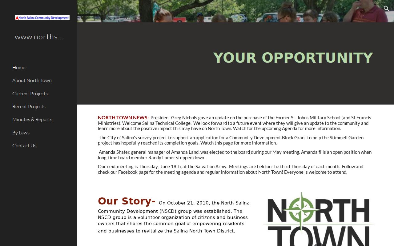
The image supports a real route into neighborhood life without implying that participants or households are listed.
North Salina
Meetings are listed for the third Thursday at 7 p.m. at 1137 N Santa Fe. Verify before attending.
City Planning
Use city planning contacts for areas without a verified current association directory.
Salina Community Directory
The Chamber mobile directory searches current member groups by keyword, category, and distance. It can locate public-facing nonprofits, schools, religious groups, shops, and services near a block. It does not list households.
The Salina Chamber search shows those options.
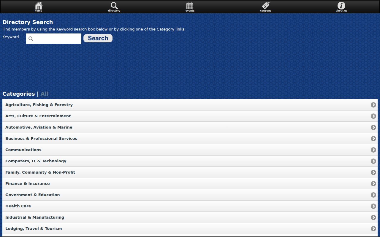
The listing is useful for community contacts. It cannot show where a staff member or participant lives.
Historic Salina Neighborhood Names
Kansas filings named Glendale Six, East Bank Estates, and Eastgate homeowners associations in a 2005 notice. That proves those entities appeared in a historic filing, not that they are active now. No current official citywide association directory was found.
For older neighbors, Campbell Room criss-cross directories can arrange entries by street. Pair a directory year with a Sanborn sheet or census schedule. The result is a dated block view, not a current roster. Salina's original town grid stayed in place when the railroad arrived, so an early street may remain recognizable even when the buildings and households changed. Sanborn sheets can show the block footprint in 1887, 1899, 1911, 1915, 1926, or 1931. They identify construction and use, not every resident.
Note: Confirm current status before relying on an old corporation name or contact.
Date Every Salina Neighbor Result
Every source describes a different moment. The Appraiser says its current portal is updated weekly. VoterView is a current election lookup, while a purchased voter file needs its own file date. Chamber members and civic meeting details can change at any time. A directory volume or census schedule is fixed to its publication or enumeration year.
Make a small record for each nearby address: source name, search date, record date, address as printed, name as printed, and the role shown. Use “owner” only for the property roll, “registrant” only for election data, and “member organization” only for the Chamber source. If two sources disagree, preserve both dates instead of forcing them into one answer. A newer tax-mailing line does not erase an older directory occupant, and an old directory name does not establish a current neighbor.
Salina Neighbor Sources Compared
Official records are narrow, but their custodian and date are clear. A parcel record supports ownership. A voter file supports registration fields. A civic page supports a meeting or project. A commercial compilation may merge stale names without explaining each person's role.
| Source | Strong use | Caution |
|---|---|---|
| Parcel and tax rolls | Land, owner, legal description | Owner may not occupy |
| Voter channel | Dated registration and district | Protection and use limits |
| Civic group | Meetings and contacts | No household roster |
| Commercial compilation | Possible lead | May be stale or merged |
Verify each useful lead with the custodian that created the record.
Privacy for Salina Neighbors
Adjacent ownership does not reveal household composition. Utility, delivery, and motor-vehicle records are not neighbor-list sources. A tax mailing address can belong to an entity or fiduciary. Map adjacency says nothing about whether two households interact.
Kansas Safe at Home supplies substitute addresses and mail forwarding for eligible survivors. Never infer a protected person's location from nearby records.
Lawful use. Look up Salina neighbors for civic contact, property context, or a safe introduction. Never watch, harass, threaten, or expose another person.