
Salina ZIP Directory Coverage
Salina's main street-delivery code is 67401. The 67402 code is tied to Salina PO-box and alternate postal use, so it should never be treated as proof that a building occupies a separate part of town. Nearby codes belong to other incorporated places in Saline County. The county broadband map also prints several rural or edge codes, but a county map label does not establish a Salina delivery area. Use the USPS address lookup for the current ZIP assigned to one complete address.
| ZIP Code | Areas Covered | Post Office | Notes |
|---|---|---|---|
| 67401 | Primary Salina street delivery | Salina | Postal destination, not the city boundary |
| 67402 | PO-box or alternate Salina mail | Salina | Verify the specific box or address |
| 67416 | Assaria | Assaria | Saline County, not Salina city |
| 67425 | Brookville | Brookville | Saline County, not Salina city |
| 67448 | Gypsum | Gypsum | Separate county community |
| 67456 | Smolan | Smolan | Separate county community |
| 67470 | New Cambria | New Cambria | County geography may cross postal areas |
| 67442, 67480, 67484 | Rural or edge labels on county map | Confirm with USPS | Not established as Salina city ZIPs |
The official Saline County cities list supplies the post-office codes for its six incorporated cities. A USPS destination table also associates 67401 and 67402 with Salina. Those are routing references. They do not turn every address bearing “Salina, KS” into property within the municipal line.
Verify a Salina ZIP First
Enter the house number, street, city, and state in the USPS tool before filtering any resident record. A partial city-and-ZIP guess can hide an error in the street line. USPS answers the delivery question, while the county answers the land question. Preserve both results when a Salina mailing line differs from the parcel's physical location.
The captured USPS shipping and address page is the starting point for an address-level check.
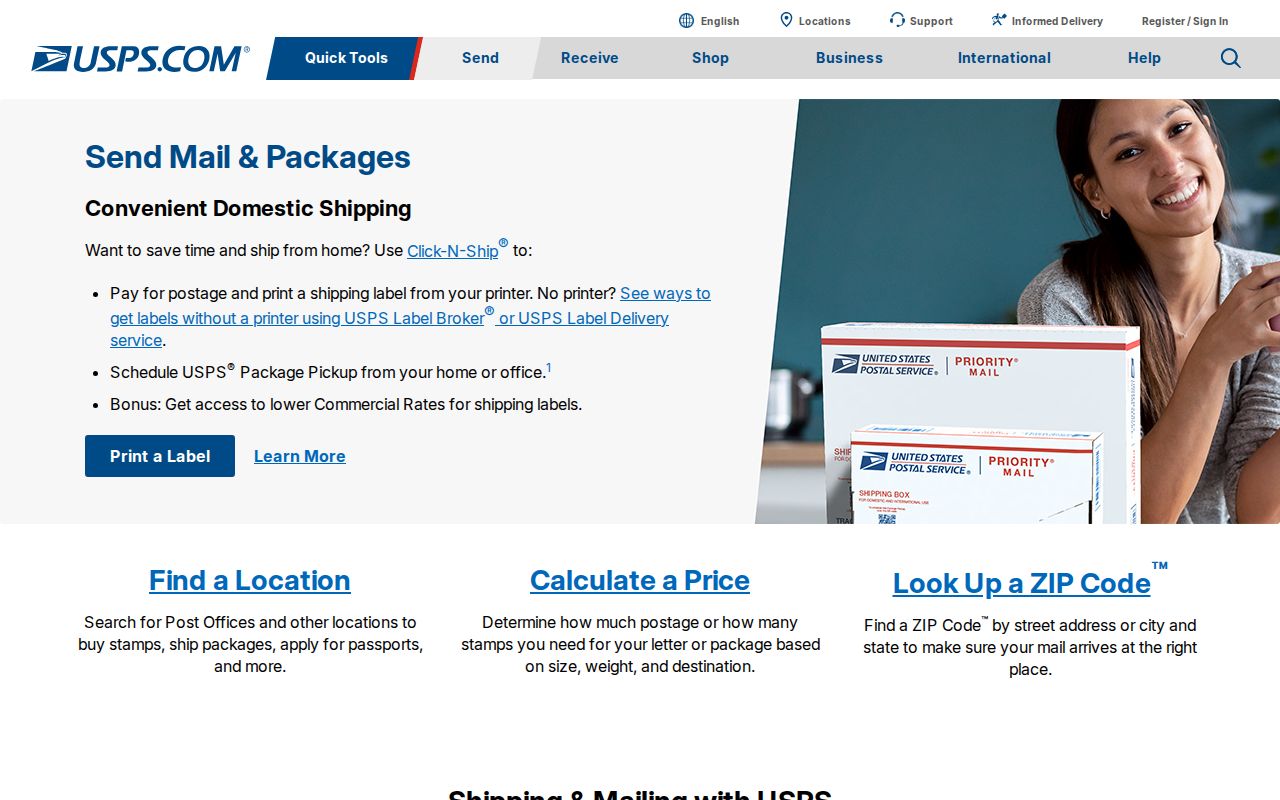
This screen leads to current postal verification. It should be followed by the tax roll when the goal concerns a parcel or named owner.
Salina Records With ZIP Filters
The Saline County Treasurer tax search has an explicit Zip Code field. A matching row may show Tax ID, Name, Address, and Legal Description. The county Appraiser has detailed address and parcel filters but no visible ZIP field, so it is the second stop after a ZIP-filtered tax result. Kansas unclaimed property accepts city and ZIP as optional fields, while VoterView does not offer a public ZIP-wide resident list.
| Source | ZIP input | Result | Limit |
|---|---|---|---|
| Treasurer | Zip Code text | Tax ID, name, address, legal description | Current tax roll |
| Appraiser | No visible ZIP field | Owner and parcel attributes by address | Compile from matched streets |
| VoterView | No ZIP field | Named registrant or polling-place match | Not a block list |
| Unclaimed property | Optional city and ZIP | Possible claim record | Not proof of current residence |
| USPS | Complete address | Current delivery ZIP | No resident names |
This division matters. A mailing ZIP can narrow a large set, but only an address-linked custodian can connect a name, parcel, or registration record to a specific place.
Find Salina Residents by ZIP
A ZIP code directory is a narrowing tool. It is not a roster. Work from an official delivery match into records that are indexed by address, and keep the record date beside each name.
- Confirm the full street address with USPS and save the delivery ZIP.
- Enter that ZIP in the Treasurer search, then open a useful tax row and note its Tax ID and legal description.
- Search the Appraiser by street address or Quick Ref ID to separate the situs address from the tax mailing address.
- Use county GIS to check whether the parcel falls inside Salina, a district, or an edge area. GIS tax maps are not legal surveys.
- For voter information, use a named-person VoterView match or ask the Election Office about the lawful geographic file scope. Do not assume ZIP-wide public access.
Once a code narrows the area, the Salina street directory explains the address-by-address chain. That approach is more precise than grouping every mailing address under one postal label.
County ZIPs Beyond Salina
The Saline County broadband report maps postal labels across a much larger area than the city. Its labels include 67401 as well as 67416, 67425, 67442, 67448, 67456, 67470, 67480, and 67484. Read the map as county geography. Do not use it to claim that every shown code serves Salina city.
The Census Salina geography profile provides a separate city-based view.
The profile reports the city as its own statistical place. A Census ZCTA, which approximates ZIP geography for statistics, can still cross the municipal outline.
Salina ZIPs Versus City Limits
Postal areas route mail. Salina's city line governs municipal jurisdiction, and Saline County has its own boundary. Census ZCTAs are statistical approximations. Those four outlines need not match. An address may use Salina as its preferred postal city while a county map places its parcel beyond the municipal polygon. Annexation can change the city jurisdiction without changing the mailing line at the same moment. In March 2024, Salina annexed land near Water Well Road, I-135, and Dry Creek, which makes the separate city, tax, and postal checks especially useful near the edge.
- ZIP and ZIP+4
- A ZIP is a broad delivery code. ZIP+4 narrows delivery to a smaller segment, such as one side of a block or a group of boxes.
- PO-box ZIP
- A code used for post-office boxes. It says where mail is collected, not where the recipient's parcel sits.
- Unique ZIP
- A code assigned to one high-volume organization. No unique Salina institution code was established in the research.
- Carrier route
- The path used to deliver mail within a ZIP. It is an operational route, not a city or neighborhood boundary.
Historic Salina Mailing Lines
No official notice of a Salina ZIP split or realignment was found. Do not assign an unverified change year. For an old letter, directory entry, or obituary, copy the mailing line exactly as printed. Then run today's address through USPS and compare it with the county situs address, legal description, and plat. Salina's original rectangular town grid and many original street names survived, but that continuity does not prove that the postal code stayed fixed.
Historic maps and directories can locate a place before modern ZIP use. They are strongest when joined to a legal description. A street label can vary while a lot, block, section, or recorded plat continues to identify the land.
The USPS explanation of ZIP basics shows why ZIP codes are delivery tools.
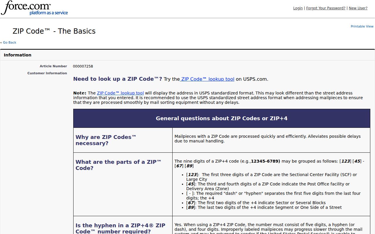
The postal guidance supports a current verification step. Historical resident research still belongs with dated directories, maps, deeds, and census sources.
Salina Address Fields by ZIP
A parcel search can show three different address ideas beside one land record. The situs address is the physical location. The mailing address is where tax correspondence goes. The legal description identifies the land in deeds and plats. ZIP belongs to postal routing and may attach to the mailing line rather than define the parcel's city jurisdiction.
Keep these fields in separate columns when collecting residents by ZIP. If the mailing and situs lines differ, do not “correct” one with the other. Verify the postal line through USPS, the physical place through the Appraiser and GIS, and the land identity through the legal description. That preserves the exact meaning supplied by each Salina or Saline County source.
What Salina ZIP Results Prove
A USPS result proves the current delivery code for the address entered. A Treasurer row links a tax-roll name and legal description to an indexed address. An Appraiser result distinguishes physical situs from mailing address. None proves that a named person occupies the property today. Owner, taxpayer, voter, claimant, and mail recipient are different roles.
Use the date and source label every time a name is saved. Current public portals can change weekly or by election cycle. Older records may keep an earlier mailing form. When a public form fails, the fallback is the office that keeps the record: Treasurer or Appraiser for parcel fields, GIS for map data, Election Office for voter-file scope, and USPS for postal delivery.
Note: A Salina ZIP code directory narrows a search, but an address and record date are what make the result useful.