
Walk a Salina Street by Address
A street directory search begins with the exact number, directional prefix, street name, and suffix. The Saline County Appraiser can tie that situs, meaning physical site, to a tax-roll owner and parcel keys. From there, GIS places the parcel among its neighbors, the Treasurer adds tax and ZIP fields, and the Register of Deeds supplies the recorded ownership chain. None of those sources alone proves every person now in the household.
- Enter the address number and street in the county parcel search. Save the situs, owner name, mailing address, Quick Ref, Tax ID, and legal description.
- Open the public parcel map or ORKA. Select the same polygon and compare the parcels on both sides and across the street.
- Use the Treasurer search when a ZIP field or tax detail is needed. Keep its Tax ID and legal description with the assessor row.
- Take the owner and legal description to iDoc or the Register of Deeds. Follow grantor and grantee names through recorded transfers.
- For residence rather than ownership, use VoterView for a known person or request the lawful geographic voter-file scope.
- For older occupants, ask Salina Public Library for reverse directories, telephone books, newspapers, and census film.
This chain turns one address into evidence without overclaiming. A tax-mailing name may be an entity or an owner living elsewhere. A voter record is dated and limited. A directory entry reflects its publication year.
Search Salina Parcel Street Fields
The Saline County Parcel Search updates each Sunday and offers far more than a basic address box. For a Salina street directory query, Property Address is the direct route. Owner, Quick Ref, legal land components, neighborhood, building traits, acreage, year, and value ranges can narrow a crowded street. The portal has no visible ZIP filter.
| Field | Control | Street-search note |
|---|---|---|
| Quick Ref ID | Text | Enter without leading R |
| Owners Name | Text | Last Name First Name |
| Property Address | Number and street | Physical-site query |
| Neighborhood Code | Select | Local portal code |
| Acre Range | Min and max | Useful on edge parcels |
| Year Built Range | Start and end | Building-age filter |
| Property Desc | S/T/R selects | Legal land components |
| Appraised Amount | Min and max | Not a sale-price field |
Result headings include Situs Address, Legal Desc, Name, Address, TaxId, Property Number, Quick Ref, Property Type, Neighborhood, Acres, and Final Values. Situs and Address must be read separately. The first locates the parcel; the second is tied to tax mail.
Salina Street Directory Record Coverage
Address-keyed sources cover different parts of a Salina block. The assessor is the best first owner lead, while the deed index is the authoritative recorded-document trail. Planning and code files may exist even though no public result index was found. In that case, describe the address, file type, and dates to the city custodian.
| Address record | Keeper | Street evidence | Access route |
|---|---|---|---|
| Parcel roll | County Appraiser | Owner, situs, mailing address, legal description | Free weekly portal |
| Tax roll | County Treasurer | Name, Tax ID, address, legal description, tax schema | Free current search |
| Parcel GIS | County GIS | Parcel shapes and district context | Public ArcGIS and ORKA |
| Deeds and plats | Register of Deeds | Recorded parties, transfer chain, legal land identity | iDoc plus office books |
| Voter records | Election Office | Registration address for lawful dated scope | VoterView or written request |
| Permits and code cases | City Planning | Address, application, project, released parties | GovBuilt intake or KORA request |
| Reverse directories | Salina Public Library | Past occupants arranged by address | Library holdings and research help |
The practical flow is address to parcel, parcel to owner, legal description to deed, and dated roll to possible resident. Keep those meanings distinct in any table made from the results.
Map a Salina Block in GIS
The county GIS page links the ArcGIS parcel viewer, ORKA, road, floodplain, school, fire, voting, and elected-representative maps. Zoom to the street segment, select the target polygon, then click adjacent polygons one at a time. Automated inspection did not expose a documented buffer or instant neighbor-list tool, so the reliable method is manual selection and comparison.
The captured ORKA county viewer provides a second public map route.
Use its map position as orientation, then verify owner and legal fields in the assessor or with GIS staff.
County GIS warns that boundary accuracy varies. A map line supports tax and research context, not an exact property boundary. A licensed survey controls when the precise line matters.
Separate Salina Situs and Mailing Addresses
The same assessor result can display two addresses. Situs is the parcel's physical location. Address is the tax-roll mailing destination attached to the indexed name. A third identifier, the legal description, ties land to a lot, block, subdivision, or section-township-range. ZIP is only a postal routing field.
- Parcel
- A county-mapped unit of land with identifiers such as Quick Ref and Tax ID.
- Situs address
- The physical street location of the parcel or improvement.
- Plat
- A recorded map dividing land into lots, blocks, roads, or other units.
- Criss-cross directory
- A directory arranged by address or phone rather than by surname.
A street directory must not label the tax-mailing party as a present occupant without another record. An out-of-town mailing line may reflect remote ownership, a trust, or a business. The legal description is often the stable bridge when a street label changes.
Follow Salina Deeds Along a Street
The iDoc Market selector gives Saline County a computer-index start of January 3, 1995, says images are available, and notes continuing back-index work. The Saline document-search URL redirects an unauthenticated user to login. Start with a current owner and legal description, then find the deed where that party was grantee, meaning recipient. The prior grantor is the next name to search backward.
The captured Saline deed-index route shows the portal used for recorded documents.
Login and payment can apply, so preserve book, page, instrument, date, and party data before opening images.
When the online route stops, call or email the Register of Deeds. Staff can identify the last deed of record. Older deeds can require bound books, microfilm, aperture cards, or other preserved media. Plats reach back to 1863, well before the computer index.
Use Salina Tax ZIP Searches
The Treasurer Tax Search accepts last name or company, Tax ID, address number, direction, street, and ZIP Code. Its results show TaxID, Name, Address, and Legal Description. This is the useful ZIP-capable companion to the assessor, whose visible fields do not include ZIP.
A ZIP match is not a city-limit test. Salina postal delivery, Census ZCTA geography, municipal boundaries, and Saline County lines differ. Use USPS for a specific current delivery ZIP and GIS for municipal or parcel context. The street and legal description remain stronger land identifiers.
Salina Voter Addresses Have Limits
Kansas VoterView matches one person using first name, last name, and date of birth. It can return registration and polling information, but it is not a public map of everyone on a street. A broader Saline voter file requires a written county request under K.S.A. 25-2320, with city, county, or precinct scope and statutory use limits.
Available public fields can include a name, residence or mailing address, party, status, precinct or district, and participation history, depending on the requested product. Social Security, driver-license, and state-ID numbers are removed. Safe at Home participants can use substitute addresses. State the file date because the roll changes.
Salina Planning Files by Address
City planning, building, and code material can link an address to an application, project type, owner, or agent when the record is public. No complete public result search was verified. The Salina planning applications page is the current intake and reference point.
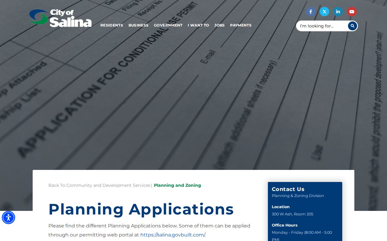
The form route does not mean all case results are indexed online. Ask City Planning or the City Clerk for an address, file type, and date range through the Kansas Open Records Act when needed.
Salina's Grid Bridges Old Streets
Salina's 1858 townsite used a rectangular grid west of the Smoky Hill River. The railroad arrived later without forcing the old street system to follow its tracks, and original townsite street names remained useful links across plats, directories, and Sanborn sheets. That makes the grid a strong geography clue for a historical Salina street directory search.
No official citywide renumbering or renaming year was verified. Do not invent one. If an old number fails, preserve the printed address and compare legal descriptions, plats, city maps, Sanborn sheets, and annexation ordinances. A March 2024 ordinance annexed land near Water Well Road, I-135, and Dry Creek, showing why edge addresses must be checked against the date and jurisdiction.
Reverse Directories Extend Salina Streets
Salina Public Library's Campbell Room holds city directories, telephone books, newspapers, census film, and local indexes. A reverse or criss-cross volume starts with the street address and can identify the listed householder for that publication year. It should be paired with deeds, census records, an obituary, or a map rather than treated as a continuous occupancy roll.
The historical shelf belongs in depth on the Salina city directory page. For street work, record only the directory year, printed address, listed names, abbreviations, and nearby entries. Those adjacent entries can help confirm that the right block was found.
Limits of a Salina Street Directory
Official address records have clear gaps. A parcel roll lists the tax owner, not each member of a household. Voter records omit people who are not registered and can protect addresses. Utility, delivery, and motor-vehicle data are not public street lists. GIS shows geography, not relationships or presence on a certain day.
Lawful use. Use Salina address records for personal, civic, family, and property research. Never stalk, harass, intimidate, or try to defeat an address-protection program.
When the street directory stops online, use the documented fallback chain: contact the Appraiser or GIS office for parcel keys, ask the Register about deeds and plats, submit a specific KORA request for public planning files, and consult the Campbell Room for historical directories. Record each source date and describe any inference as an inference.
A useful street table keeps one row per source and date, not one row per assumed household. List the parcel situs, tax-mailing name, deed party, voter-file date, and directory year in separate columns. Conflicts then become clear. A directory may lag a move, and a new deed may not yet appear in the weekly parcel roll. Resolve the conflict with the custodian that owns the newer record.
For a whole block, work in short segments and preserve both odd and even address sequences. Alleys, corner lots, vacant parcels, and multi-parcel sites can make two polygons look like one street address. The map supplies the shape, while the legal description supplies the recorded identity.